Android & iOS
Capture Full-Res Photos & Videos with Live GPS Map, Weather & Timestamp Stamps
GPS Map Camera Pro stamps coordinates, altitude, compass heading, and live weather onto full-resolution 12MP+ photos and 4K video.
Capture & sensors
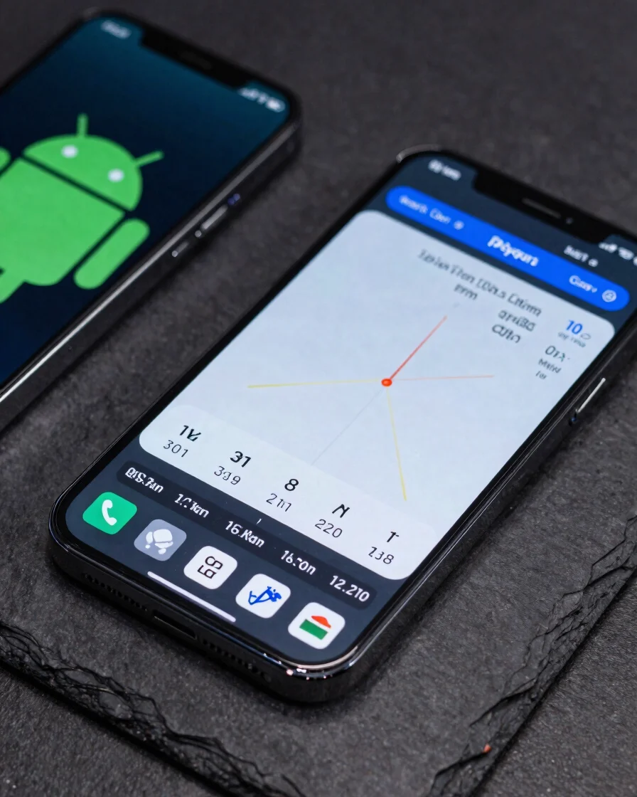
Full-sensor capture with live field data
12MP+ & 4K Video
Native full-sensor capture with 0.5x–10x zoom and a video stamp burned into every frame.
Compass & Magnetometer
Heading from the compass and magnetometer readings in µT, plus a spirit level for true alignment.
Altitude & Live Weather
Altitude alongside temperature in °C or °F, wind, humidity, and pressure.
Stamp templates
Four stamps for the job at hand
Choose the Classic compass view, the Advance layout, the Engineering/Survey record with ±m accuracy, QR, and PASS/FAIL badge, or a Date & Time stamp.
Classic (Compass)
Compass heading and location on a clean overlay for quick field reference.
Advance
A fuller layout combining coordinates, altitude, and weather data.
Engineering/Survey
Shows ±m accuracy, a QR code, and a PASS/FAIL badge for inspection records.
Date & Time
A timestamp-focused stamp for chronological documentation.
PDF reports & EXIF
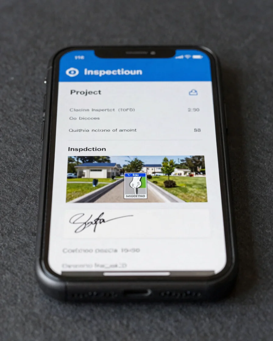
Turn field photos into structured reports
Add project and inspector details with a signature, then export a PDF through SMTP email. Hardware EXIF such as ISO, aperture, and GPS is preserved, and gallery photos can be stamped after capture.
Pro tools
Built for organized field work
Custom folders & file naming
Sort captures into custom folders and name files by your own rules.
Offline mode
Keep capturing when there is no connection, with location and sensor data still recorded.
Multi-language RTL/LTR
Use the interface in left-to-right or right-to-left layouts.
FAQ
Common questions
Does GPS work offline?
A GPS fix depends on the device's satellite reception, so offline mode keeps capturing while the fix may take time to settle.
Do I need to calibrate the sensors?
Use the spirit level and compass in an open area and follow the on-screen calibration steps.
Which devices are supported?
The app runs on Android and iOS. Sensor availability depends on the individual device hardware.
How is the app licensed?
Usage is covered by the license in the Terms and Conditions, and Pro features use subscriptions managed through the app store.
Download GPS Map Camera Pro
Available for Android and iOS. Review our About, Privacy Policy, Terms and Conditions, and Contact Us in the footer.